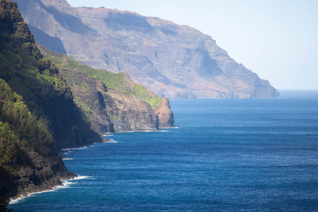
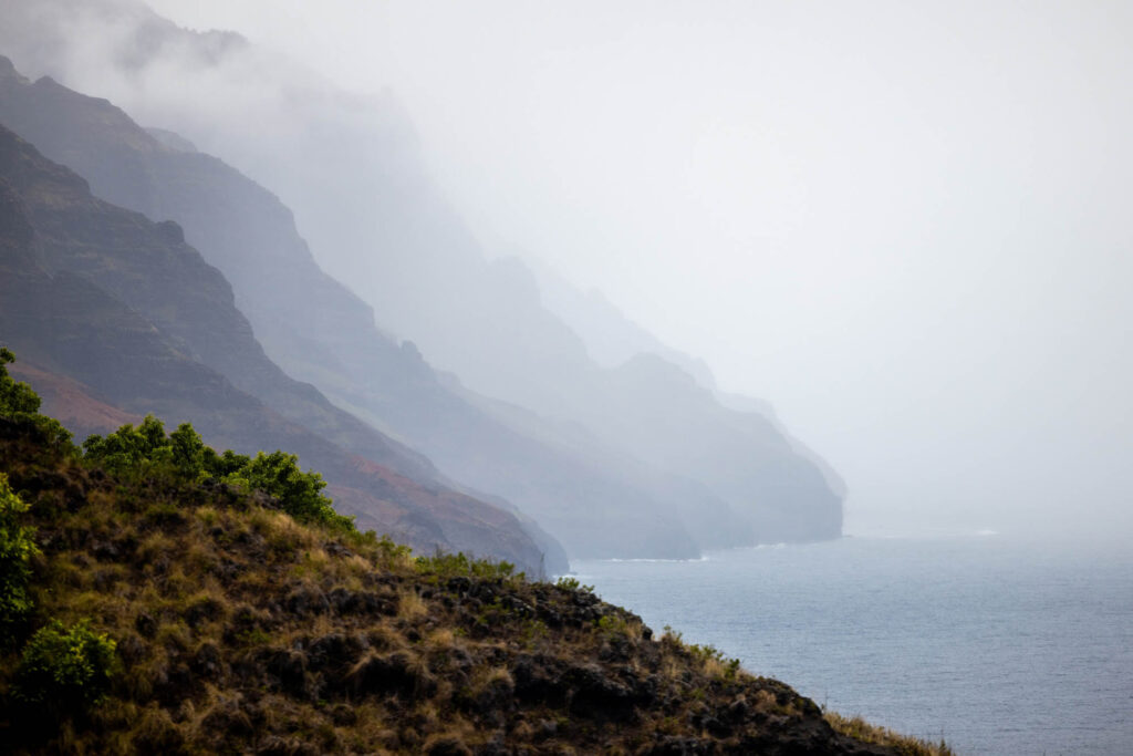
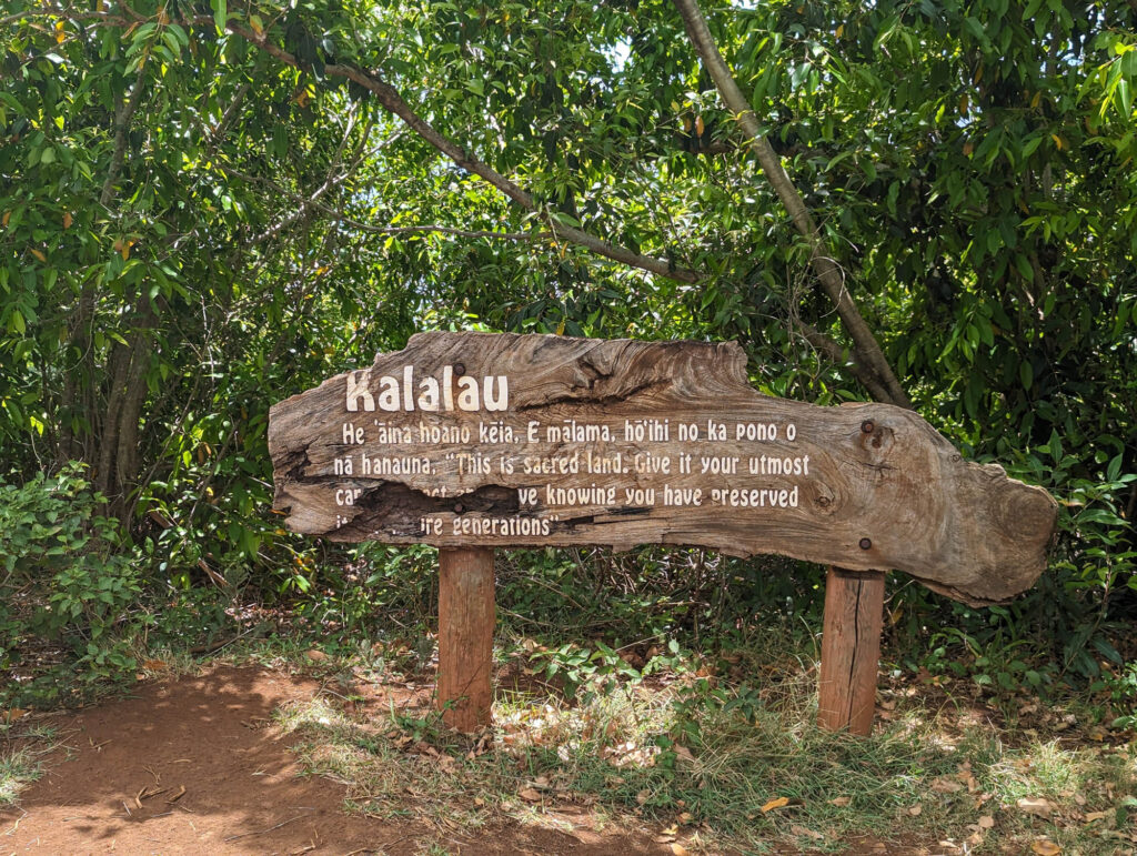
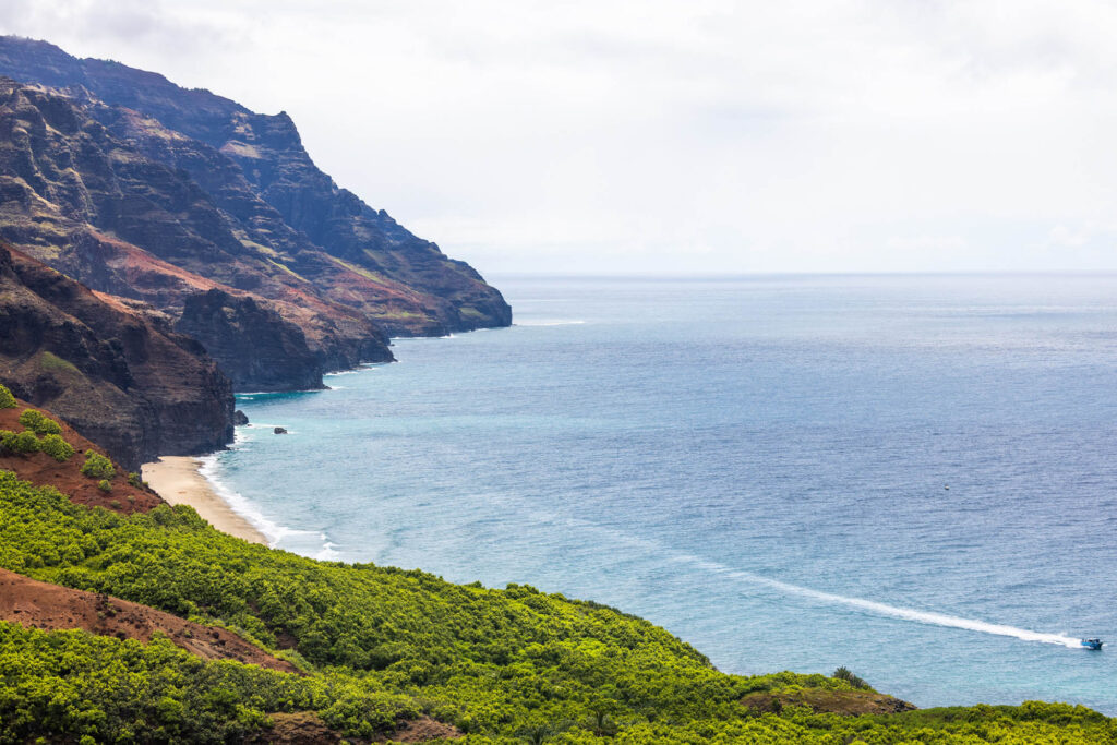
The Nāpali Coast is a very special place. The pali, or cliffs, provide a rugged grandeur of deep, narrow valleys ending abruptly at the sea. Waterfalls and swift flowing streams continue to cut these narrow valleys while the sea carves cliffs at their mouths. Extensive stone walled terraces can still be found on the valley bottoms where Hawaiians once lived and cultivated taro.
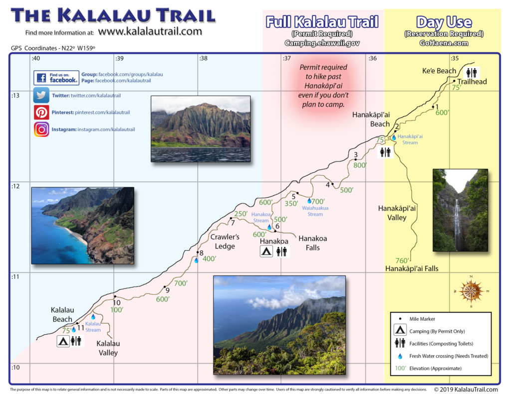
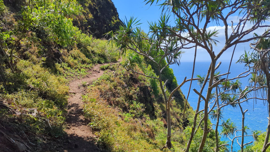
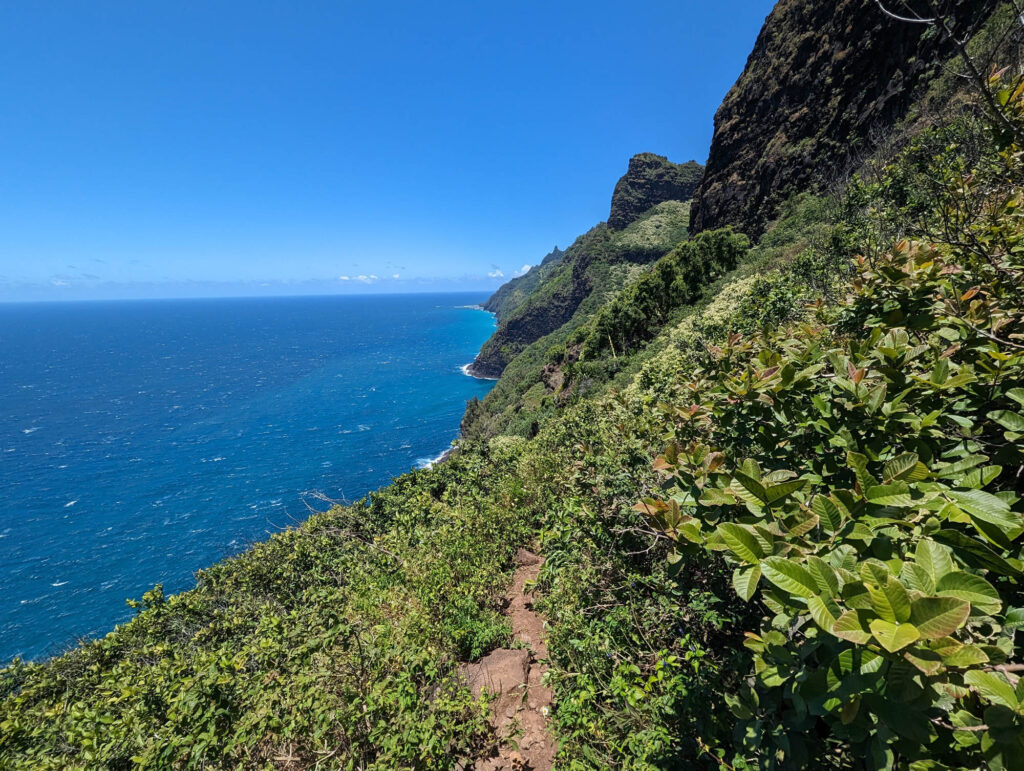
The Kalalau Trail provides the only land access to this part of the rugged coast. The trail traverses 5 valleys before ending at Kalalau Beach where it is blocked by sheer, fluted pali. The 11-mile trail is graded but almost never level as it crosses above towering sea cliffs and through lush valleys. The trail drops to sea level at the beaches of Hanakāpīʻai and Kalalau.
Originally built in the late 1800’s, portions of the trail were rebuilt in the 1930’s. A similar foot trail linked earlier Hawaiian settlements along the coastline.
For most backpackers in good condition hiking the 11 miles will take a full day. Get an early start to avoid overexertion in the midday heat.
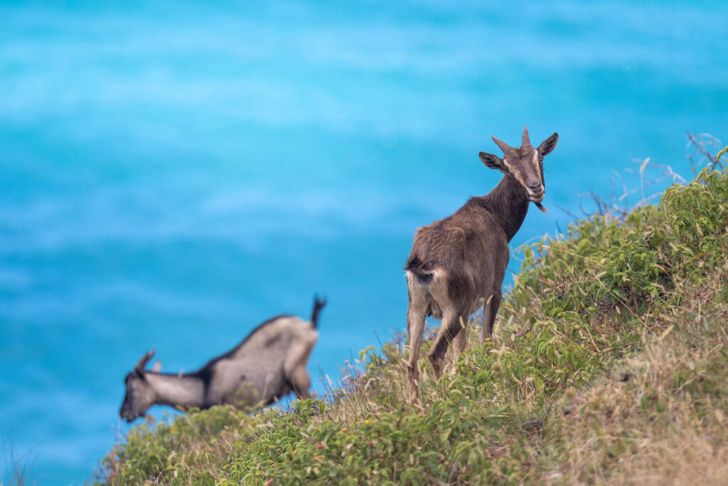
For experienced swimmers knowledgeable in local sea conditions, near-shore waters offer limited opportunities for swimming and body-surfing. Naturalists will find a number of points of interest. Native and introduced tropical plant species abound. Many rare native plants grow on inaccessible cliffs. Wild goats are often seen along the trail route.
CLIMATE/SEASONS
Throughout the year, temperatures seldom drop below 60°F. Summer weather (May to October) normally brings steady trade winds and occasional showers while winter weather (October to May) is less predictable. Trade wind showers are more frequent during the night and early morning. Infrequent widespread storms cause flash floods.
CAMPING/HIKING
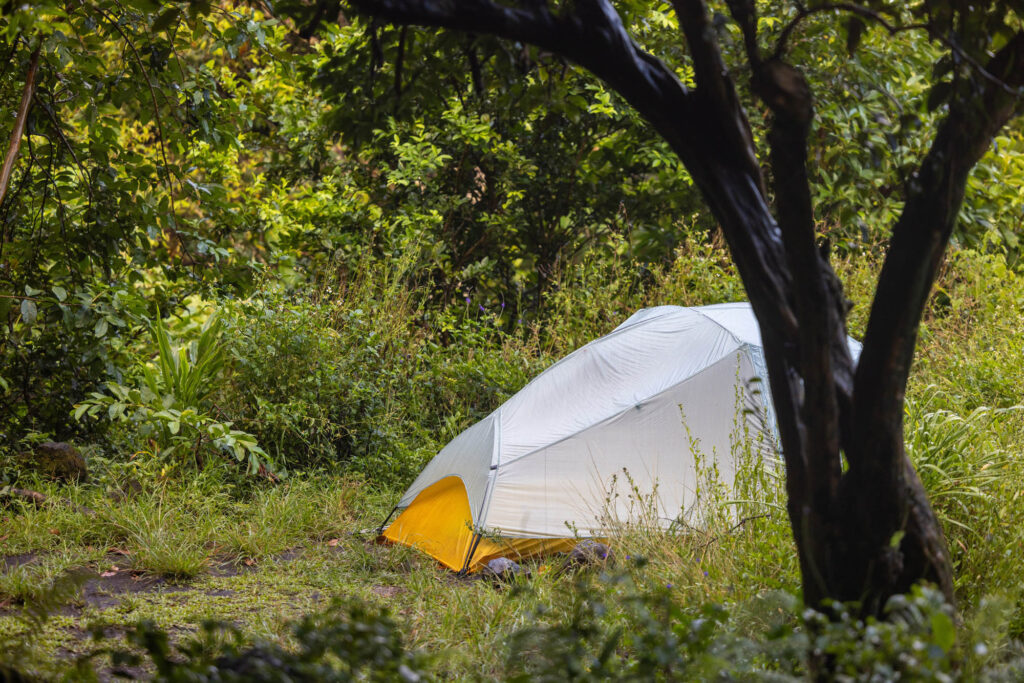
Camping is only allowed at Hanakoa or Kalalau. Camping is not allowed anywhere else along the trail or at the trail head. Permits are required to camp. You can hike to Hanakāpīʻai as a day hike with a day-use reservation. Hiking Permits are required to hike past Hanakāpīʻai even if you don’t plan to camp. The authorized camping areas along the trail do not have tables or drinking water. Composting toilets are available at Hanakāpīʻai, Hanakoa, and Kalalau. All camping areas are located on shaded terraces near streams.
PARTS OF THE TRAIL
Ke’e To Hanakāpīʻai Beach (2 miles)
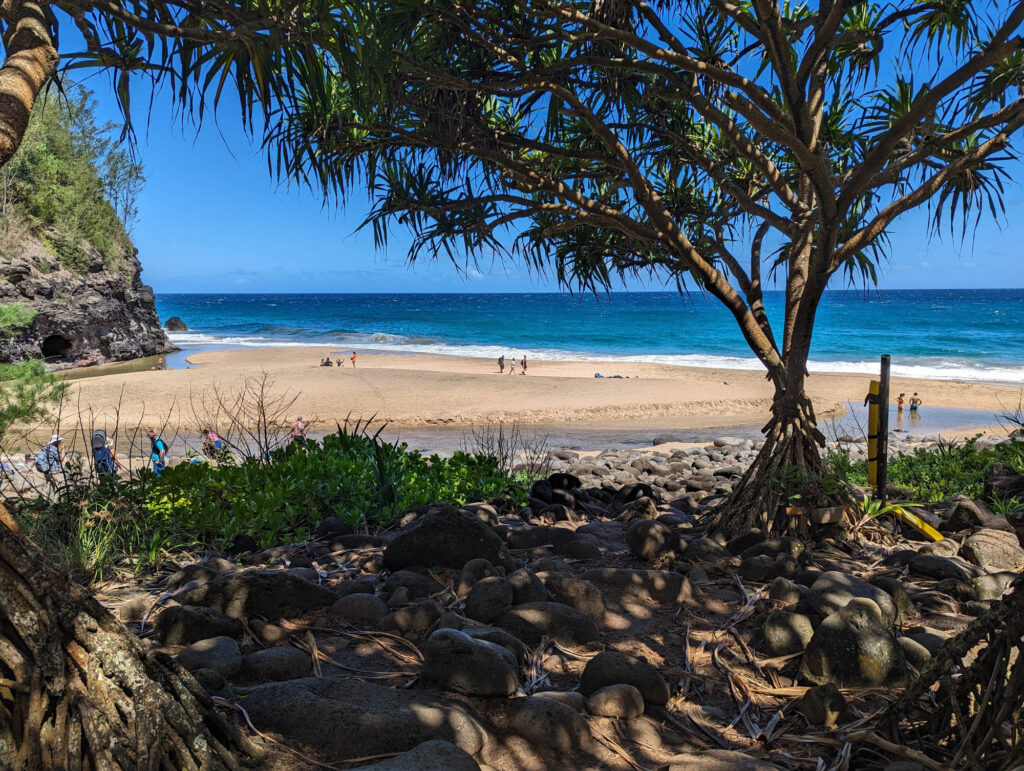
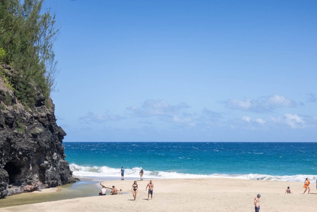
This first section of the Kalalau Trail offers a popular day hike for able-bodied hikers. Walking the first half mile will reward you with excellent views of the coast. The summer sand beach at Hanakāpīʻai is a popular destination for day hikers. Allow 3-4 hours to complete the round trip.
Swimming or wading can be dangerous, however, and is not recommended. The surf and rip currents are variable and often extremely treacherous, but worst in winter when high surf conditions prevail. BEWARE! Drownings occur here regularly.
Camping is not permitted at Hanakāpīʻai. Day Hikes to Hanakāpīʻai Beach (4 miles round trip) or up to Hanakāpīʻai Falls (8 miles round trip) are allowed without a hiking permit but do require a day-use reservation.
Hanakāpīʻai Beach to Hanakāpīʻai Falls (2 miles)
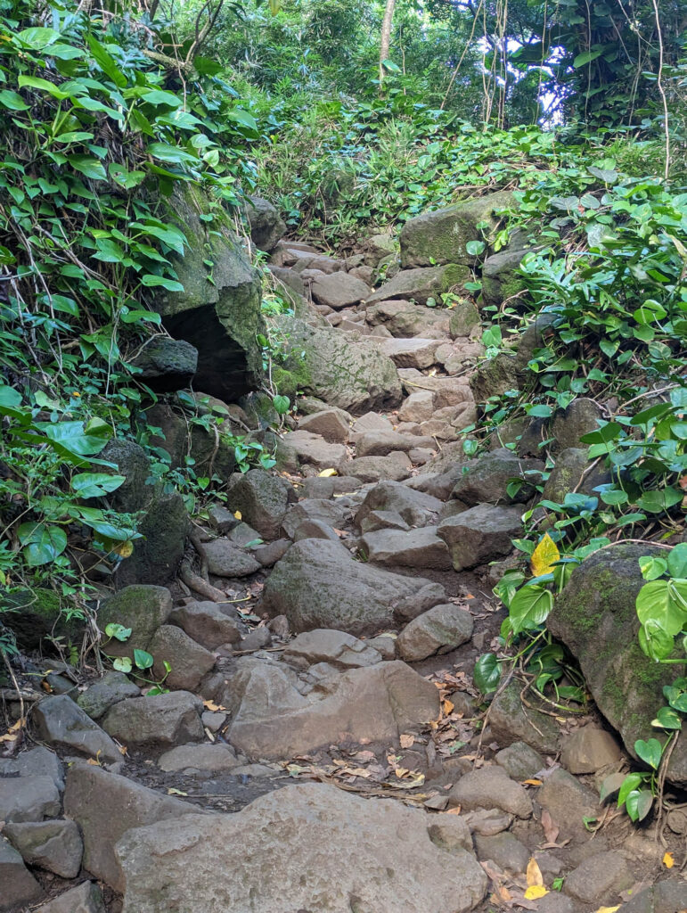
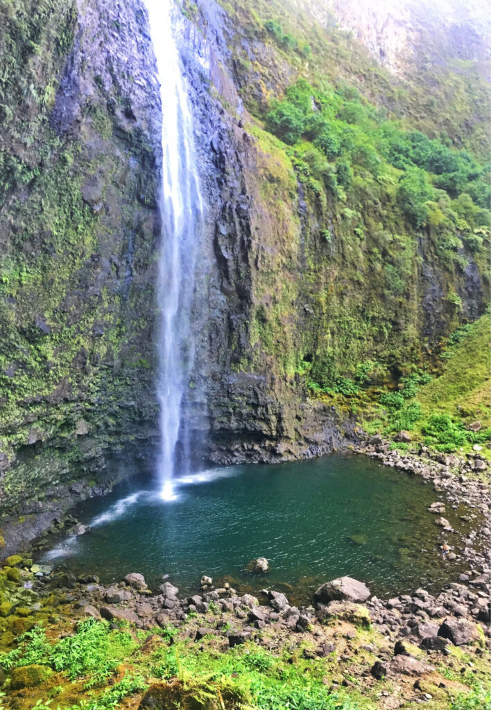
An un-maintained 2-mile trail from Hanakāpīʻai Beach up into Hanakāpīʻai Valley leads to a beautiful waterfall. After crossing the stream about a mile up the valley, the trail becomes more difficult as it meanders over rocks and fallen trees. The upper half of this trail should be hiked only in good weather to avoid dangerous flash floods and falling rocks. (4 miles round trip)
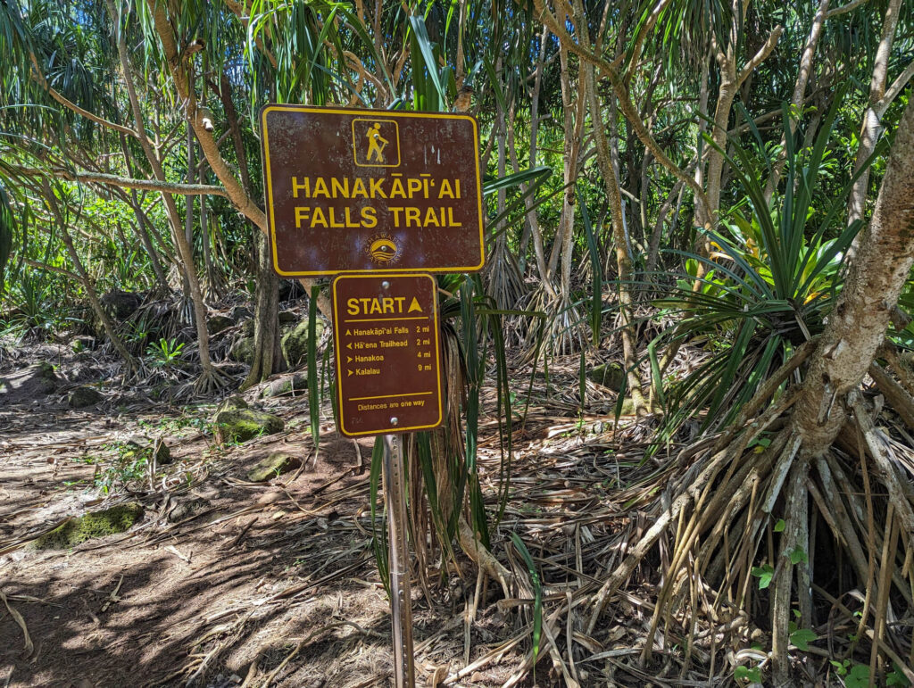
Hanakāpīʻai to Hanakoa
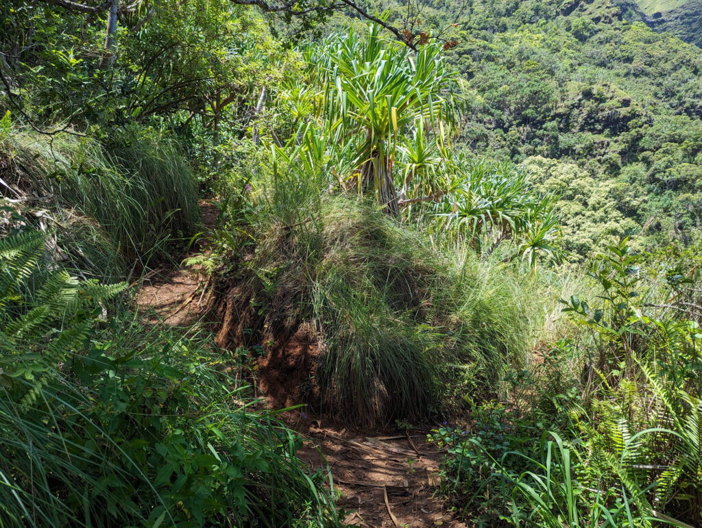
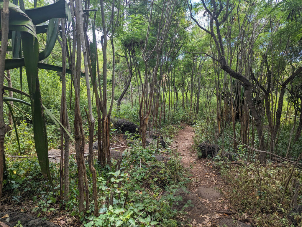
A permit is required to hike this part of the trail whether or not you plan to camp. More strenuous hiking begins as the steep switchback trail climbs 800 feet out of Hanakāpīʻai valley. The trail traverses the Hono o Na Pali Natural Area Reserve in the small hanging valleys of Ho’olulu and Waiahuakua before entering Hanakoa Valley. The reserve harbors a variety of native lowland forest plants.
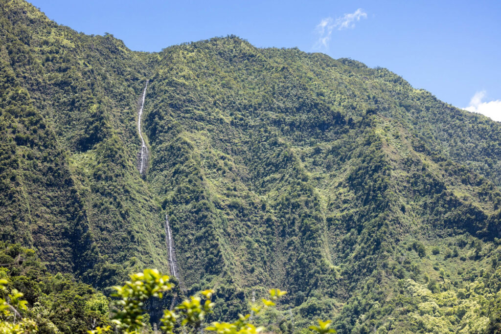
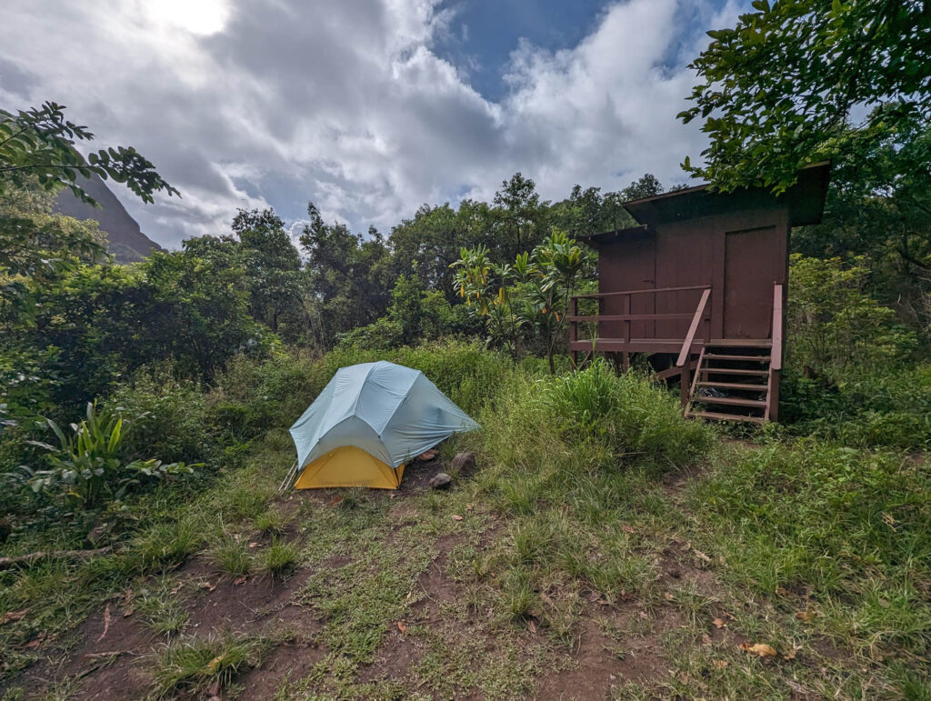
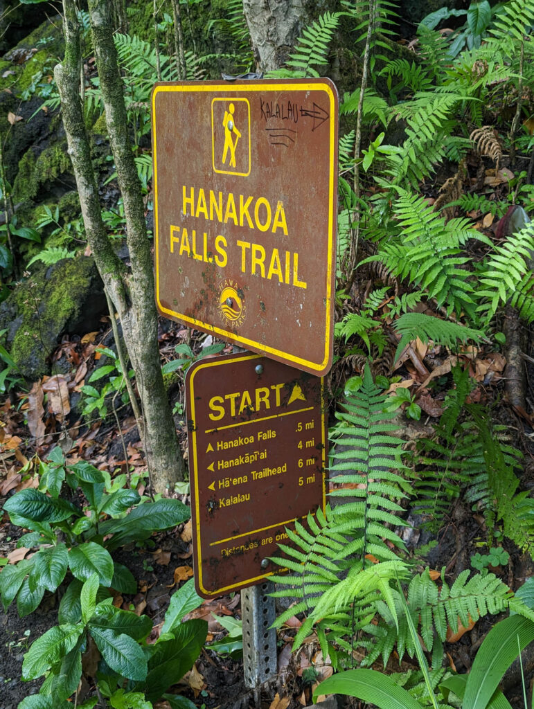
Near the Hanakoa Stream crossing, weary backpackers may stop over for the night going to, or returning from Kalalau with a camping permit. Facilities include a composting toilet and two roofed shelters. The shelters are within a complex of old agricultural terraces where Hawaiians once planted taro. These terraces were replanted with coffee plants in the late 1800’s, which are still growing throughout the valley today. The poorly marked 1/2-mile trail up the east fork of the stream to Hanakoa falls has hazardous, eroded sections but affords a spectacular view of the falls.
The trail crosses the stream well back in the valley, therefore there is no shoreline access at Hanakoa. In fact, Hanakoa is a hanging valley without a beach – the stream exhausts itself over cliffs at the ocean’s edge.
Hanakoa To Kalalau
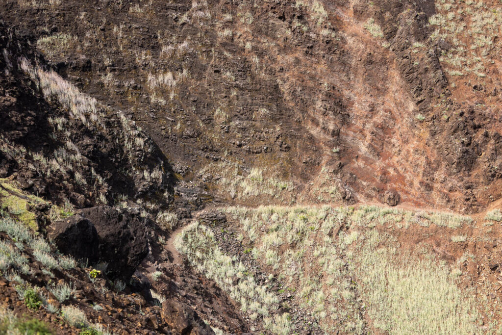
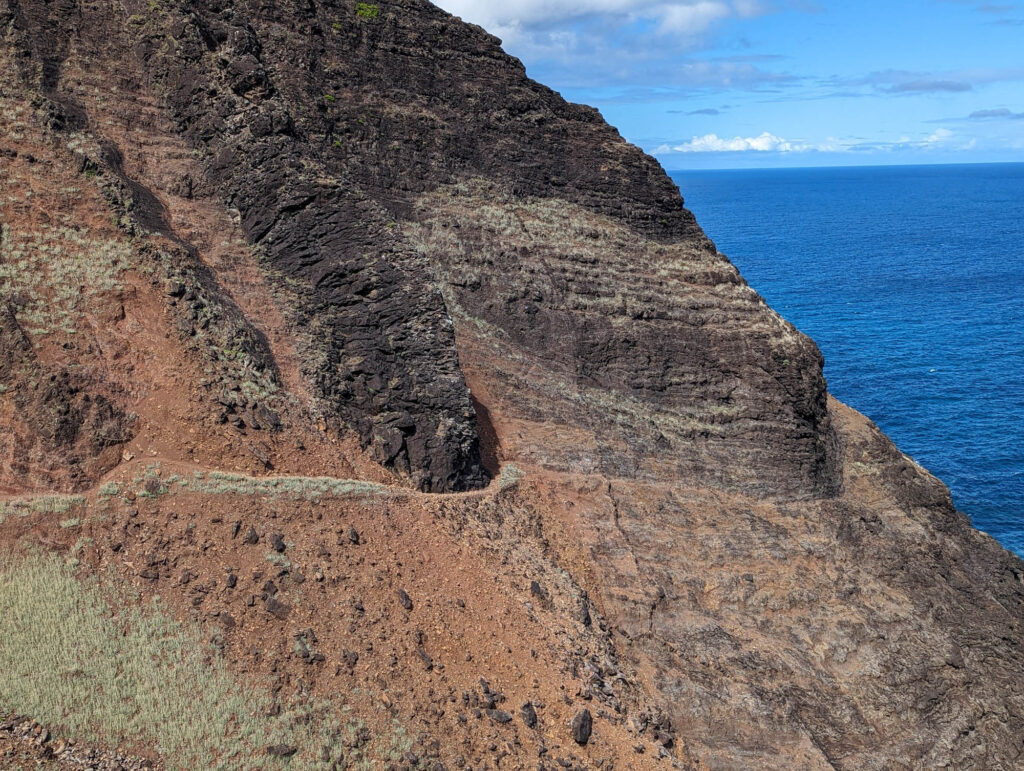
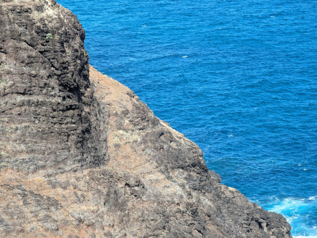
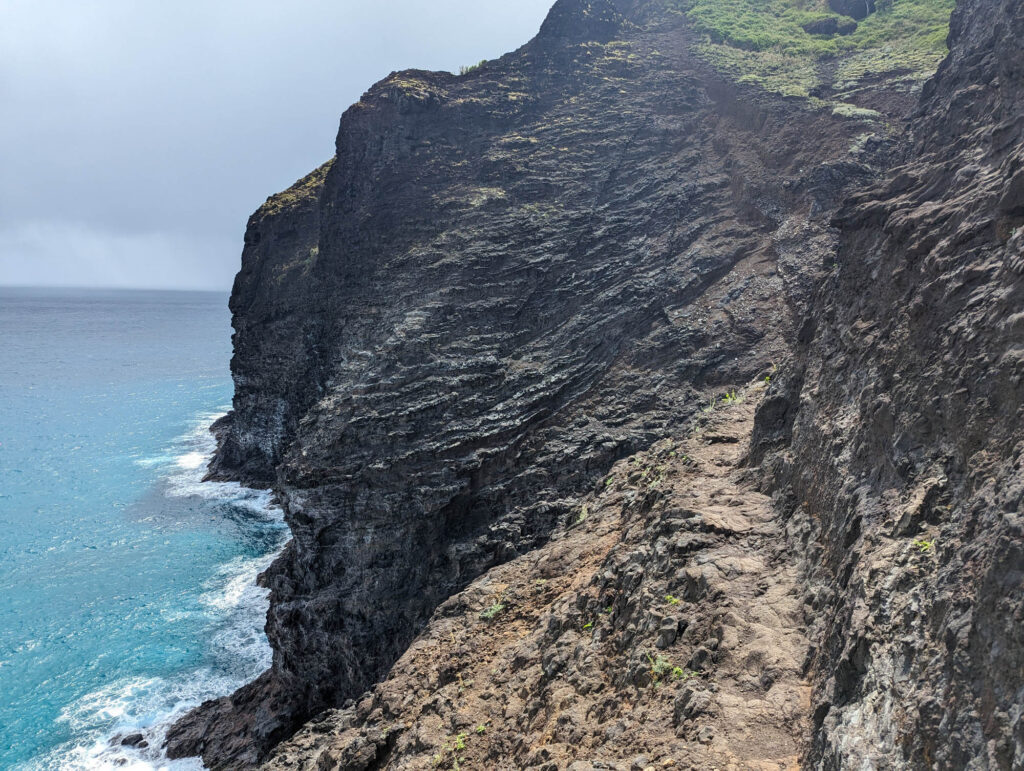
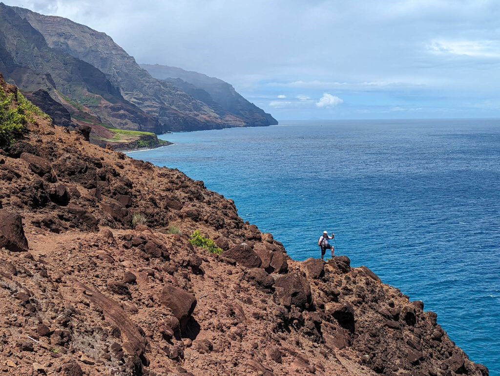
After leaving Hanakoa valley, the trail enters drier, more open land which offers little shade from the midday sun. Tired hikers may be urged on by the panoramic view of Kalalau Valley’s fluted cliffs and the coastline beyond. Portions of the trail in this section are very narrow and the drop-off on the ocean side is severe. Use extreme caution, especially during wet weather.
Right past the mile 7 marker, you’ll find Crawler’s Ledge which many people consider the scariest part of the trail. Others argue that there are scarier parts including the sandy parts right before mile 7.
As you approach Kalalau, there will be steep downward decent along Red Hill that will lead down closer to sea level. After crossing Kalalau Stream, the last 3/4 of a mile is pretty flat and leads to Kalalau Beach.

