by David T. Lurk
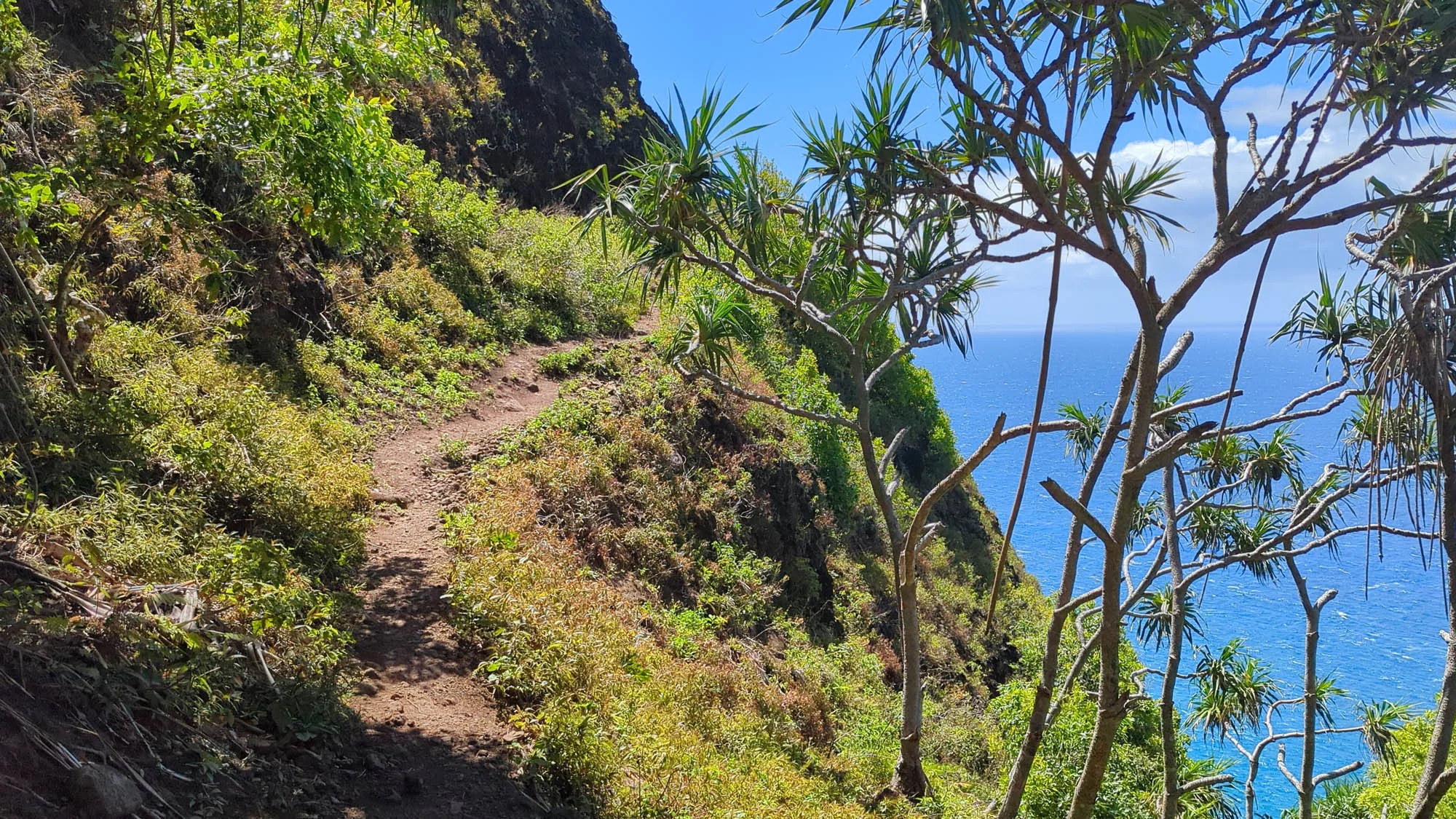
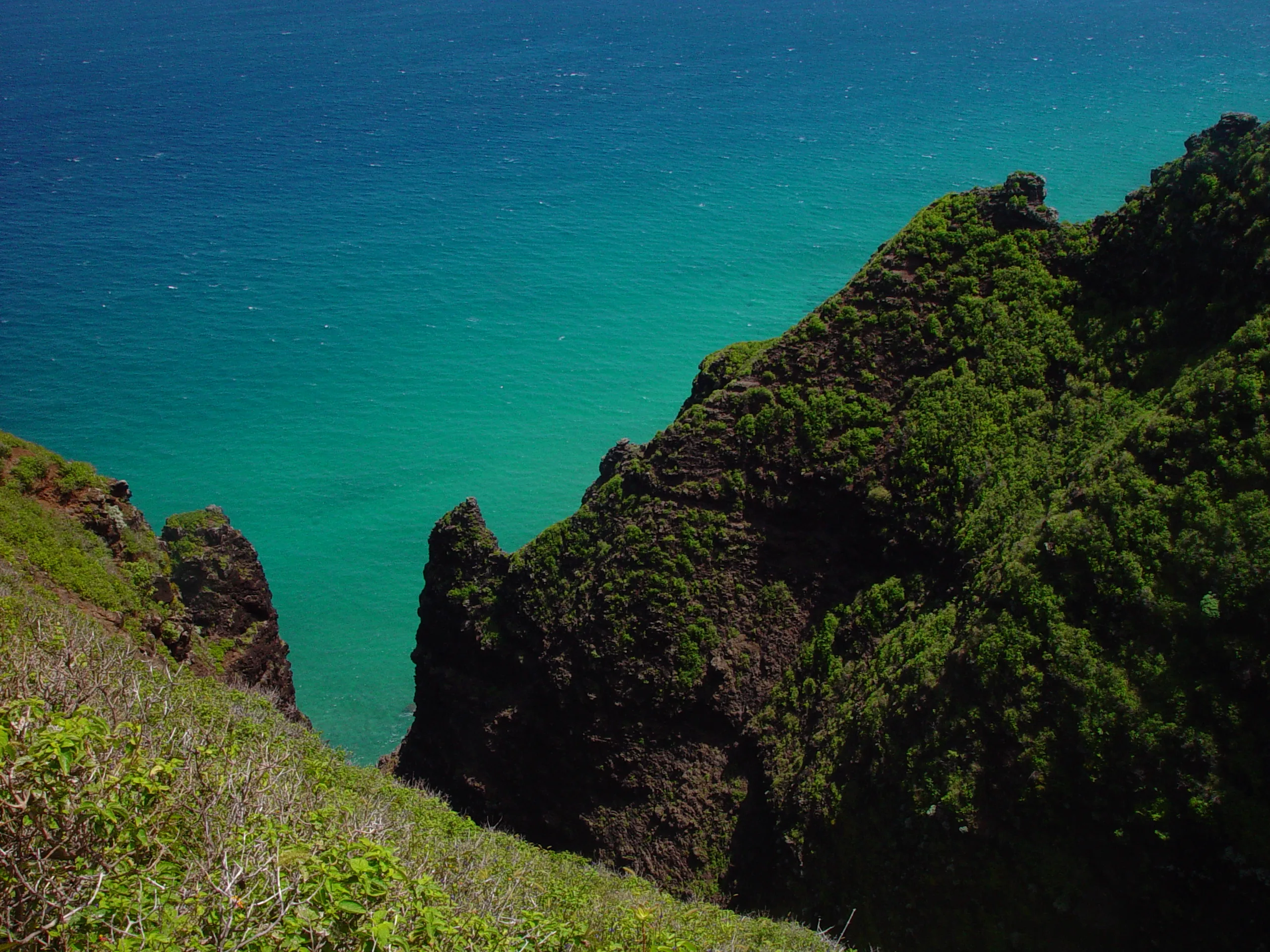
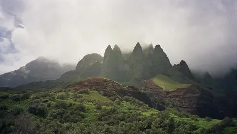
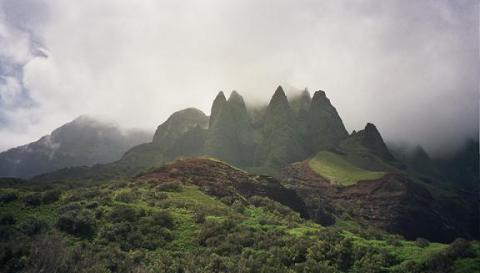
The Na Pali coast is located on the north coast of the Hawaiian island of Kauai. The Pali or cliffs, are a magnificently rugged region of deep and narrow valleys ending abruptly at the sea. Waterfalls and whitewater streams sculpt these narrow valleys while the sea carves sheer cliffs. Stone walled terraces, one thousand years old, are in the valleys where early Polynesians once lived and cultivated taro (the Hawaiian equivalent of the potato).
Na Pali Coast
Na PaliCoast
The Kalalau Trail, originally built in the late 1800s, provides the only land access through Na Pali. The rugged trail traverses five valleys before ending at Kalalau valley and Kalalau beach. The 11-mile trail is always in a state of disrepair due to intense erosion. It is never level as it crosses above rocky sea cliffs and through green valleys. The trail descends to the sea at the valleys that include the beaches of Hanakapiai and Kalalau.
To give a better understanding of the trail in relation to the island of Kauai, think of the island as a rough circle and the face of a clock. The extreme top, or north side of the island, is 12:00 o’clock and the bottom, 6:00 o’clock. Most of the island is mountainous, the only paved roads being on or near the coast. In the jargon of the island: Kauai has an excellent network of lousy roads. The main two-lane highway starts at 12:00 o’clock and runs, clockwise, almost completely around the island but stops at 11:00 o’clock. The coast between 11 and 12 o’clock is the Na Pali coast. The Na Pali coast is too rugged for any type of road other than a footpath. However, a hiker can only hike from end of road at 12 o’clock, counterclockwise, 11 miles, to 11:05. A shear cliff, that is too crumbly to mountain climb, separates the hiker from the other end-of-road at 11:00.